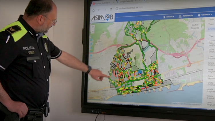
Cunit: Piloting a smart inventory of its road infrastructure

The Challenge
Cunit is a coastal city 50 km southwest of Barcelona home to around 8,000 inhabitants. During the peak holiday season, however, the population can increase up to 50,000. Cunit has a network of over 1,200 kilometres of roads. Currently, the Municipality of Cunit is using an outdated geographic information system (GIS), a web map comprised of different data layers, developed by a third party. It is necessary to modernise the GIS so that it incorporates the inventory of road elements such as pedestrian crossings, traffic signs, traffic lights, etc. and is easily updatable. A solution was sought to meet the following objective: Optimization of data collection, analysis, and maintenance of road elements.


